GEOSPATIAL, GIS, & LiDAR MAPPING
We are at the forefront of Geospatial and Geographic Information System (GIS) services,
delivering unparalleled precision in data acquisition and spatial analysis. Using advanced
technologies, we provide robust geospatial data collection for any terrain. Our expertise
spans landslide monitoring, hazard and risk mapping, and engineering asset management,
enabling us to empower our clients with the insights they need to drive informed, strategic
decisions for infrastructure and environmental sustainability.
Data acquisition for geospatial projects involves gathering accurate, reliable spatial
data from various sources to use in Geographic Information Systems (GIS). This data
forms the foundation for analysis, mapping, and decision-making in fields like
landslide monitoring, groundwater exploration, and geotechnical investigations.
Geospatial, GIS & LiDAR Mapping
Data Acquisition
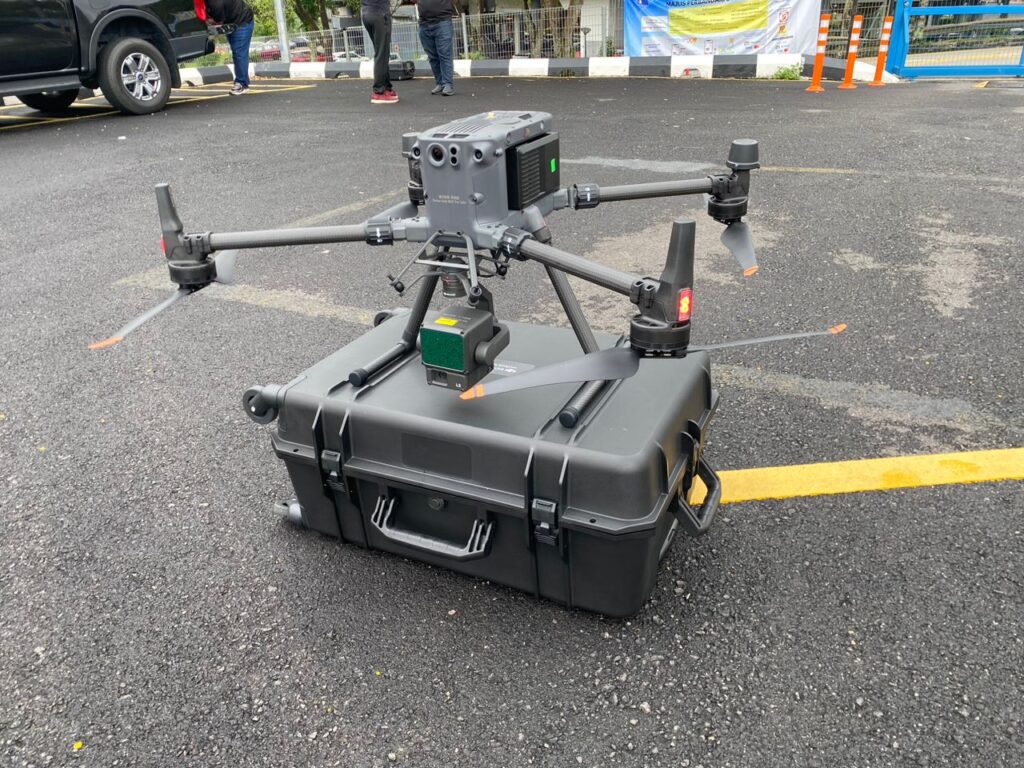
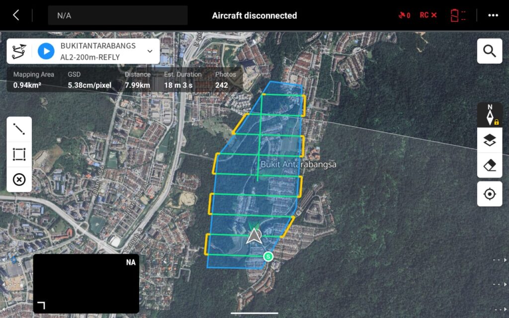
UAV Mapping
We Provide highly detailed, customizable data collection at a lower cost and with greater flexibility than manned flights

LiDAR Mapping
LiDAR uses laser pulses to measure the distance between the sensor and
the ground, creating precise 3D models of terrain. It's particularly useful
for creating Digital Elevation Models (DEMs) and Digital Terrain Models
(DTMs), which are critical for slope stability analysis and identifying
potential landslide areas.
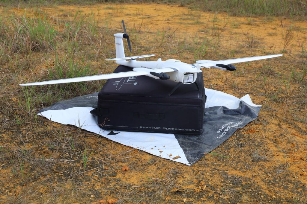
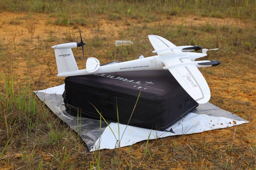
VTOL LiDAR Mapping
(VTOL) aircraft equipped with Light Detection and Ranging (LiDAR)
technology for mapping and surveying large areas. VTOL aircraft, such as
drones or helicopters, have the advantage of taking off and landing
vertically, making them ideal for operations in difficult terrain or remote
areas where runways are unavailable. Combining VTOL platforms with
LiDAR enables high-precision 3D mapping of the Earth's surface, and
structures.
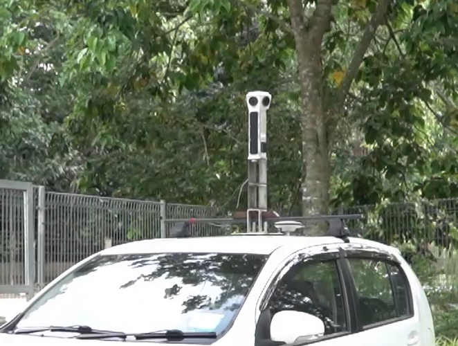
Mobile Mapping for 3D 360 Panaromic Street View
Mobile mapping with 3D 360° panoramic technology involves the use of specialized equipment to create an interactive, three-dimensional view of streetscapes. This technology captures images and spatial data in all
directions (360°) while moving, producing a detailed and realistic panoramic representation of the environment. The result is a street-level visualization that allows users to explore and analyze locations as if they
were physically present.
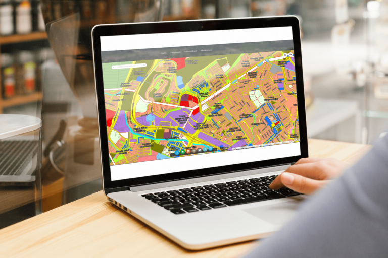
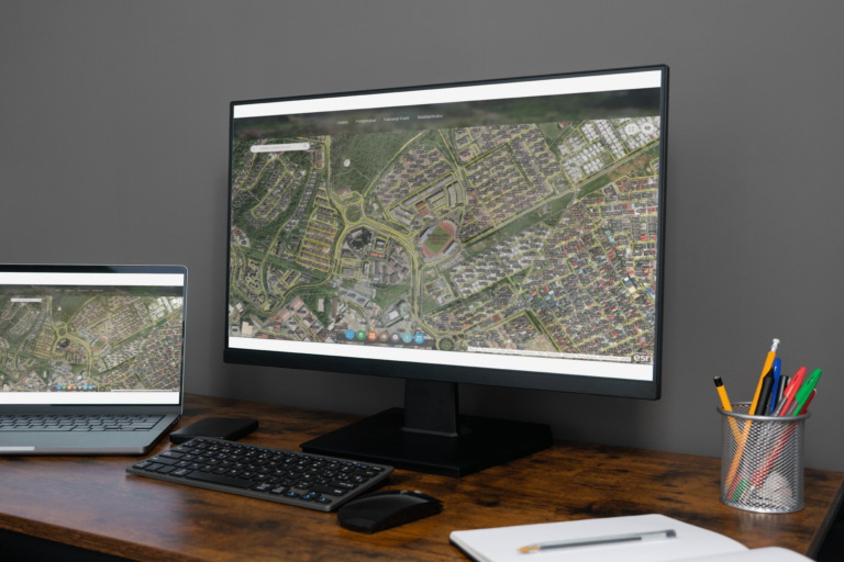
Geographic Information System (GIS) is a framework, or tools used for
capturing, storing, analyzing, and visualizing spatial and geographic data.
It integrates data from various sources to provide insights into patterns,
relationships, and trends in the spatial environment and visualize into
maps, tables or graphs.


